January 23, 2024

The ice that used to cover roughly 85% of Alaska is thawing, causing ground to collapse and putting communities at risk. Jaweed Nazary, a Ph.D. student in civil and environmental engineering, has found that satellite imagery is key to pinpointing exactly which locations are most susceptible to these changing conditions.
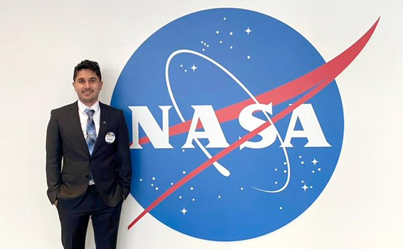
Nazary spent 10 weeks this past summer working with NASA through the DEVELOP National Program, an internship that trains students to use Earth data to investigate environmental challenges. Nazary presented the team’s findings to NASA headquarters in Washington, D.C. this fall and to the American Geophysical Union Conference in San Francisco in December.
Nazaray’s research team was based out of the University of Georgia-Athens and included one other Ph.D. student and two undergraduates. The team used synthetic aperture radar, or SAR, data from a European Space Agency satellite known as Sentinel-1. The technology is so advanced, it allowed the group to peer below the ground and see exactly what’s happening as frost once considered permanent melts.
“It causes soil to lose structural support which eventually leads to ground subsidence, meaning the Earth’s surface sinks,” he said. “The land continues to go down and finally collapses. We found that this is happening faster along drainage networks.”
In partnership with the University of Alaska Fairbanks, Nazary’s group specifically studied seasonal ground subsidence along drainage networks in Unalakleet, Alaska. At the end of the project, they presented their findings to the community, allowing them to determine which locations are less susceptible to subsidence as they consider relocation.
“We provided maps of drainage networks where there’s more risk of flooding and permafrost thaw,” he said. “It was great to be part of creating such meaningful data and maps for the community.”
The work could lead to a follow-up project to study long-term impacts of permafrost melt, not only on the ground but also environment. In addition to making land inhabitable, these ground collapses also release large amounts of methane, carbon dioxide and other gases back into the atmosphere, which further contributes to melting conditions.
Nazary returned from the internship even more committed to helping solve environmental problems. At Mizzou Engineering, he works with Associate Professor Kathleen Trauth to determine locations to establish and characterize wetlands. Better understanding SAR technology will help with that research, but Nazary is now considering other ways to apply his skills after graduate school.
“I learned a lot, specifically about this kind of technology, and left with new connections and promising collaborations,” he said. “It’s given me a new view about work on Earth observation and what we can do with that to help communities all over the world. I’m now considering careers at NASA’s Jet Propulsion Lab, which is not something I’d thought about before. There are a lot of potential applications. It’s empowering to think of the possibilities.”
Explore new possibilities. Learn more about civil and environmental engineering at Mizzou.