November 09, 2026
Mizzou Engineering researchers have developed an AI model that combines satellite imagery with geospatial information to predict community-level health outcomes.
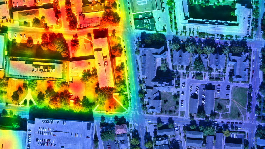
Much of what shapes human health happens outside the clinic and in the surrounding neighborhoods, workplaces and homes. But understanding the geographic, socioeconomic and environmental factors impacting community health is costly and often impractical, especially in rural communities, fast-growing cities and other areas where accurate data is hard to come by.
To address this challenge, Mizzou Engineering researchers have developed a new artificial intelligence (AI) model that combines satellite imagery with geospatial information to predict community-level health outcomes.
The Geo-Context-Guided Visual Transformer (GCGVT) integrates satellite imagery with data about demographic, housing, education, income and other factors. The model not only predicts health outcomes but also shows researchers which neighborhood characteristics and landscape features influenced its predictions.
In a study published in IEEE Transactions on Geoscience and Remote Sensing, the researchers found that GCGVT outperformed several existing AI models for predicting conditions such as cancer, depression, diabetes, heart disease, obesity and stroke.
Who conducted the research?
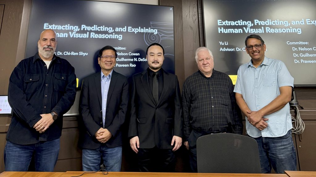
The research was conducted by Yu Li, Guilherme N. DeSouza, Praveen Rao and Chi-Ren Shyu of the David L. Payne Department of Electrical Engineering and Computer Science. Shyu also directs the MU Institute for Data Science and Informatics.
Why is this research important?
The research found that the same neighborhood can be associated with different health outcomes for different reasons. When predicting conditions such as obesity, depression and cancer, the GCGVT focused on different combinations of environmental, demographic and socioeconomic factors, suggesting that each disease may be linked to a community in its own unique way.
While many existing AI models can predict health outcomes, GCGVT moves beyond simply concluding that a community has a high prevalence for disease and begins addressing how different environmental and community factors influence health.
The researchers used satellite imagery because, unlike conventional health surveys, satellite imagery can be collected frequently and consistently, offering opportunities to monitor changes in community environments and potentially identify emerging health risks over time.
The research shows how combining AI and satellite imagery can help reveal patterns of chronic disease that might otherwise be overlooked, particularly in rural communities and other areas where detailed health data are difficult to obtain.
“We hope this technology will eventually help public health organizations better identify communities in need and direct resources where they can make the greatest impact.” – Chi-Ren Shyu
Who benefits from the research?
Urban planners and policymakers could use GCGVT to better understand how neighborhood conditions may relate to health outcomes. Healthcare organizations could apply the model’s insights to target prevention and intervention efforts. Researchers in public health, geography and AI may find it provides a new way to test hypotheses about health and place.
But the big winner would be communities with limited geographic information system, census or environmental datasets. Here, satellite imagery could help fill information gaps.
“This approach holds particular promise for improving rural health, where access to healthcare resources and comprehensive health data is often limited.” – Chi-Ren Shyu
Where is the research published?
The study, Observing Health Outcomes Using Remote Sensing Imagery and Geo-Context-Guided Visual Transformer, was published in IEEE Transactions on Geoscience and Remote Sensing (TGRS), Volume 64, in 2026.
What can I study if I’m interested in this research?
Interested Mizzou Engineering students can pursue bachelor’s degrees in computer science or data science. Post-graduate study options at Mizzou Engineering include a master’s in computer science, a master’s in AI, a PhD in computer science and a PhD in AI.
Bottom line
GCGVT combines AI and satellite imagery with limited geospatial information to provide a practical way to study population health when comprehensive datasets are unavailable. The model also reveals interpretable patterns linking communities, environments and health, pointing researchers toward relationships that may have been hidden in plain sight.