September 23, 2026
FieldVision allows drone swarms to adapt to changing network and computing conditions to analyze images more reliably and efficiently, enabling precision agriculture.
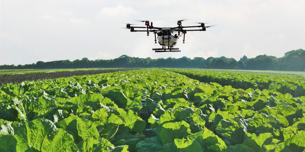
Mizzou Engineering researchers have developed FieldVision, a new artificial intelligence (AI) framework that helps fleets of agricultural drones decide where to process image analysis tasks: on the drone itself, at a nearby edge computing server or in the cloud.
In simulation tests, FieldVision improved overall performance compared with traditional rule-based approaches and single-drone AI methods. It achieved higher rewards, reduced deadline misses and improved reliability while allowing drones to operate independently without needing to communicate directly with one another during missions.
Who conducted the research?
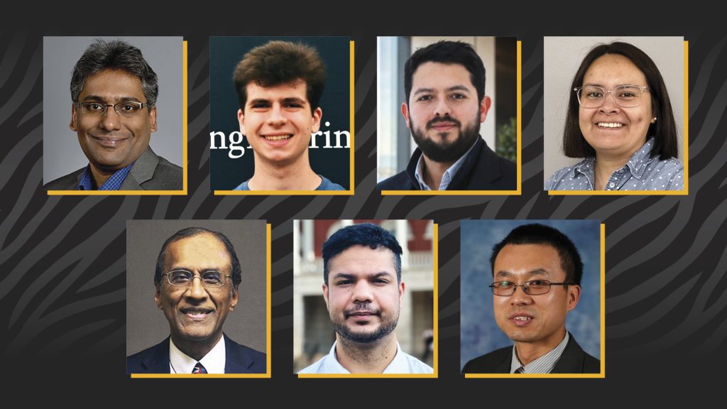
The research was led by Mizzou investigators including Andrew Hellman, Bishwas Wagle, Alicia Esquivel Morel, Juan Mogollon, Jianfeng Zhou, Kannappan Palaniappan and Prasad Calyam. Collaborators included Sean Peppers from Florida Gulf Coast University, Vincent Zheng from Stony Brook University and Arunava Roy from the University of Memphis.
Their work was supported by the National Science Foundation through a Research Experiences for Undergraduates grant related to consumer networking technologies.
Why is this research important?
Agricultural drones can collect enormous amounts of useful imagery. But applications such as crop counting, crop-health monitoring and targeted inspection require that this visual data be processed quickly enough to provide useful information while a mission is still underway.
What’s more, drones have limited computing power and battery capacity, and wireless connectivity in rural areas can be unpredictable. Sending data to an edge server or the cloud depends on shared wireless connections that can change considerably as the drone moves across a field.
The problem becomes even more challenging when multiple drones operate at the same time, sharing wireless bandwidth and edge computing resources. While offloading data may be good for one drone, it may create congestion or delays for another.
FieldVision addresses this challenge by allowing each drone to act as an intelligent decision-making agent. Using multi-agent reinforcement learning (MARL), drones learn when a computation task should be processed onboard, sent to a nearby edge server or offloaded to the cloud. Centralized training with decentralized execution (CTDE) allows drones to learn about shared-resource contention during training and make their own decisions using locally available information once deployed.
“Our goal is not simply to make an individual drone more productive. We want multiple drones to learn how to use limited network and computing resources effectively as conditions change, without depending on continuous communication among the drones.”
– Bishwas Wagle
Who benefits from this research?
Farmers, agricultural researchers and organizations that use drones for precision agriculture are the most direct beneficiaries. More timely processing of aerial imagery could help transform drone data into actionable information sooner, particularly for applications such as crop counting, crop-health assessment, anomaly detection and targeted field inspection.
“Although we developed FieldVision around precision agriculture, the underlying problem is much broader. It solves for how a group of autonomous systems can intelligently share computing and networking resources when the environment is constantly changing.”
– Bishwas Wagle
Drone operators and developers of autonomous systems can also benefit from the underlying approach. Learning how to coordinate decisions without requiring constant drone-to-drone communication could make these systems more practical in large fields and other environments where connectivity is inconsistent. Similar challenges arise in disaster response, wildfire and flood monitoring, infrastructure inspection, environmental sensing and other applications.
Where is the research published?
The study, titled “Multi-Agent Proximal Policy Optimization for Network-Aware Drone-based Crop Image Analysis,” was presented at the Institute of Electrical and Electronics Engineers World Congress on Computational Intelligence (IEEE)/International Neural Network Society International Joint Conference on Neural Networks (INNS IJCNN) 2026.
What can I study if I’m interested in this research?
Interested Mizzou Engineering students can pursue bachelor’s degrees in computer science, data science or electrical engineering, among other options. Post-graduate study options at Mizzou Engineering include a master’s in computer science, a master’s in AI, a PhD in computer science and a PhD in AI.
“One of the things I find exciting about this research is that it brings AI, networking, edge computing and autonomous systems together. Students can enter from any one of those areas and gradually learn how the pieces interact to solve a real-world problem.”
– Bishwas Wagle
Bottom line
FieldVision demonstrates how AI can help groups of agricultural drones make smarter, faster decisions about where to process image analysis tasks. By adapting to changing network and computing conditions, the system improves reliability and efficiency compared with traditional methods. The results suggest that cooperative AI could become an important tool for enabling real-time precision agriculture and other drone-based monitoring applications in the future.