May 8, 2025
EECS honors first Alumni Hall of Fame inductees
Shannon Blunt and Matt Klaric have been recognized for pioneering work in radar systems and artificial intelligence, respectively.

Nov. 15, 2023
Team places second in National Geo-Spatial Intelligence Agency competition
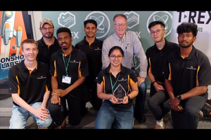
A team from the University of Missouri Institute for Data Science and Informatics (IDSI) and Data Science and Analytics (DSA) program recently placed second in the National Geo-Spatial Intelligence Agency’s Geo-Hack for Humanity.

May 3, 2022
Mizzou Engineers help locate remote bomas in East Africa through geospatial AI
Mizzou Engineers have helped a non-profit agency by using artificial intelligence to locate bomas, or small huts, in remote areas of Eastern Africa.

April 11, 2022
New web resource provides health, socioeconomic, other geospatial data
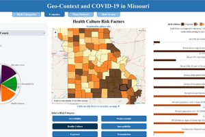
A Mizzou Engineering team has developed a web resource that allows users to sort and view health, socioeconomic, accessibility and population data by county.